-
Partager cette page
Spatializing Farmers’ Perception of Agricultural Resources with Focus on Cereals Cultivation in Bekaa Valley, Lebanon
Coécrit par Mehdi Saqalli
Publié le 17 novembre 2025 – Mis à jour le 17 novembre 2025
The study shows that farmers’ perception-based mapping in the Bekaa reveals key environmental and territorial factors shaping cereal production, identifying 74% of the region as suitable for cultivation and highlighting the crucial role of local knowledge in guiding resilient, region-specific agricultural policies.

Lebanon’s cereals production holds historical importance in the Bekaa region, which has served as Lebanon’s agricultural heartland for centuries. Today, this vital area for food security faces environmental challenges that threaten the viability of its cereals farming sector. This study examines the current state of agricultural resources and territorial features of cereals through the lens of farmers and the local community using Perception-Based Regional Mapping (PBRM).
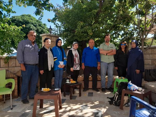
The resulting maps were digitized and analyzed using QGIS to highlight spatial disparities across the region. The study was conducted during the summer of 2023. A total of 36 maps were developed with local farmers who first identified the areas relevant to cereals cultivation, and then reflected the spatialized perceptions covered 93% of the total study area and delineated it into distinct zones based on eight criteria identified by farmers: water availability, water quality, type of water resources, soil type, soil fertility, agricultural productivity, landform, and size of arable land. The primary cereal crops grown in the region are wheat, barley, and corn, with wheat dominating cultivation.
Farmers use both traditional and mechanized methods, apply nitrogen-based fertilizers and herbicides, and rely on rainfall or limited irrigation. The resulting maps highlighted the distinct agricultural zones within the basin, of which 1030 km2 (74%) were identified as appropriate for cereals cultivation.
The findings underscore the value of local knowledge in identifying environmentally and economically favorable zones for cereals production, and contribute to the design of targeted, region-specific policies and interventions aimed at enhancing the resilience of cereals farming systems in the Bekaa—especially in light of ongoing socio-environmental pressures.


